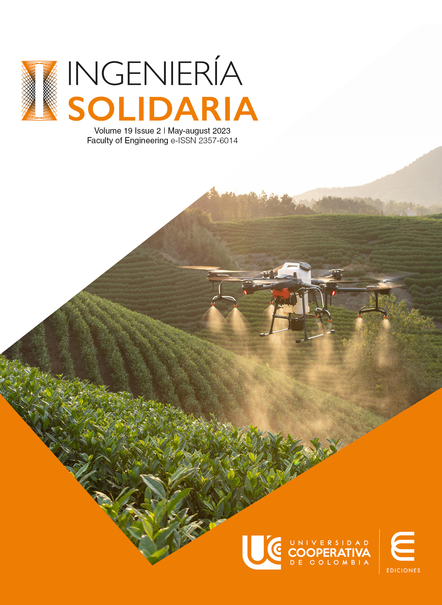
Drone system for risk management
This article is a product of the project "Estudio para identificar las capacidades tecnológicas en las pymes de la Villa de San Diego de Ubaté", developed by the Creing seedbed of the systems engineering program of the Universidad de Cundinamarca Seccional Ubaté during the year 2022.
Objective: To develop an assistance system using unmanned aerial vehicles (drones) to support the Fire Department in risk management in the Villa de San Diego Ubaté.
Method: Research conducted around the use of different programming languages for the creation of the website, trying to maintain the optimization of, where the user can find all the information about the service, likewise, is included mathematical and physical research with which you can analyze the flight characteristics according to the properties of the drone.
Results: Mathematical and physical research applied to the analysis of the flight characteristics is evidenced, taking into account the properties and functionalities of the drone.[1]
and the geographical details of the municipality of Ubaté-Cundinamarca, a bibliographic inquiry where the history, classification and Colombian regulations are supported, as well as the planning and the different tools and activities that are developed for the achievement of the project.
Conclusion: The use of drones in different fields has intensified in recent years, however, although they are very useful for quick access to areas with difficulties or precarious situations, drone systems have not been implemented that allow surveillance and attention to these situations in a timely manner in the northern area of the department of Cundinamarca.
Limitation of the study: this project is focused on the study and analysis for the municipality of Villa de San Diego de Ubaté due to the relevance of the sector and the study, as well as the ease of information gathering.
How to Cite
License
Copyright (c) 2023 Ingeniería Solidaria

This work is licensed under a Creative Commons Attribution 4.0 International License.
Cession of rights and ethical commitment
As the author of the article, I declare that is an original unpublished work exclusively created by me, that it has not been submitted for simultaneous evaluation by another publication and that there is no impediment of any kind for concession of the rights provided for in this contract.
In this sense, I am committed to await the result of the evaluation by the journal Ingeniería Solidaría before considering its submission to another medium; in case the response by that publication is positive, additionally, I am committed to respond for any action involving claims, plagiarism or any other kind of claim that could be made by third parties.
At the same time, as the author or co-author, I declare that I am completely in agreement with the conditions presented in this work and that I cede all patrimonial rights, in other words, regarding reproduction, public communication, distribution, dissemination, transformation, making it available and all forms of exploitation of the work using any medium or procedure, during the term of the legal protection of the work and in every country in the world, to the Universidad Cooperativa de Colombia Press.
F. Bracero, “La geolocalización se implanta en todos los ámbitos”, La Vanguardia, 2011. [En línea]. Disponible en: https://www.lavanguardia.com/internet/20110311/54124889951/la-geolocalizacion-se-implanta-en-todos-los-ambitos.html [Último acceso: 11 octubre 2022]
R. R. Arenas-Romero, S. Vidales-Claros, E. E. Millán-Rojas, “Metodología para la actualización de áreas de riesgo de inundaciones en el municipio de Florencia (Caquetá) mediante sobrevuelos de aeronaves pilotadas a distancia”, Ingeniería Solidaria, vol. 14, n.° 26, pp. 1-14, 2018. doi: https://doi.org/10.16925/in.v14i26.2454
R. Sánchez Verdú y R. Sebastiá Alcaraz (2014, May). Realidad aumentada. Recurso para el aprendizaje de la geografía: Geoalcoi. En XVI Congreso Nacional de Tecnologías de la Información Geográfica, Alicante, 2014, pp. 676-683. [En línea]. Disponible en: https://rua.ua.es/dspace/handle/10045/46773 [Último acceso: 11 octubre 2022].
E. J. Montes Galbán, Ideas sobre tecnociencia y experimentación digital en geografía. Revista Vientos del Norte, vol. 2, nº.5, pp. 7-17, 2017. [En línea]. Disponible en: http://www.editorial.unca.edu.ar/Publicacione%20on%20line/CD%20VIENTOS%202017/PDF/N5%20Vol%20II/1-Ideas%20sobre%20tecnociencia.pdf [Último acceso: 11 octubre 2022].
"Principio de Bernoulli - Enunciado y Ejemplos". Experimentos Científicos. [En línea]. Disponible en: https://www.experimentoscientificos.es/principio-de-bernoulli/ [Último acceso: 11 octubre 2022].
T. F. Roque, “Engineering Research”, tesis de doctorado, Instituto Politécnico Nacional. 2022.
“Lección 1.5 RAC 91 Apéndice 13”, Yumpu. [En línea]. Disponible en: https://www.yumpu.com/es/document/read/65289295/leccion-15-rac-91-apendice-13. [Último acceso: 11 octubre 2022].
Ubaté, Consejo Municipal para la Gestión del Riesgo de Desastres. "Plan Municipal de Gestión del Riesgo de Desastres - Municipio Villa de San Diego de Ubaté Cundinamarca". Repositorio - Unidad Nacional para la Gestión del Riesgo de Desastres. [En línea]. Disponible en: https://repositorio.gestiondelriesgo.gov.co/handle/20.500.11762/32878 [Último acceso: 11 octubre 2022].
E. Amaya, "Metodologías de Trabajo". ISF-Colombia. [En línea]. Disponible en: https://isfcolombia.uniandes.edu.co/eventos/metodologias-de-trabajo [Último acceso: 11 octubre 2022].
Noticias UCN al día, "Rediseñan las carreras de Ingeniería en base al modelo CDIO Noticias UCN al día – Universidad Católica del Norte. [En línea]. Disponible en: https://www.noticias.ucn.cl/destacado/redisenan-las-carreras-de-ingenieria-en-base-al-modelo-cdio/ [Último acceso: 11 octubre 2022].
Gobierno de Colombia, “Estructura del Sistema Nacional de Gestión del Riesgo de Desastres”. Gestión del Riesgo. [En línea]. Disponible en: https://portal.gestiondelriesgo.gov.co/Paginas/Estructura.aspx
Universidad de los Andes, “Metodologías de trabajo”, [En línea]. Disponible en: https://isfcolombia.uniandes.edu.co/index.php/eventos/metodologias-de-trabajo
Unidad nacional para la gestión del riesgo de desastres “sistema nacional de gestión del riesgo de desastres” https://portal.gestiondelriesgo.gov.co/Paginas/Estructura.aspx
Unidad Nacional para la Gestión del Riesgo de Desastres “Información sobre la Unidad Nacional para la Gestión del Riesgo de Desastres” [En línea]. Disponible en:https://portal.gestiondelriesgo.gov.co/ [Último acceso: 11 octubre 2022].
J. L. Fernández, “La cámara fotográfica”, Fisicalab. 2022, de[En línea]. Disponible en: https://www.fisicalab.com/apartado/camara-fotos [Último acceso: 11 octubre 2022].
DJI, “DJI Mini2” [En línea]. Disponible en: https://www.dji.com/mini-2 [Último acceso: 11 octubre 2022].
Weatherspark, "El clima en Ubaté, el tiempo por mes, temperatura promedio (Colombia) - Weather Spark". El tiempo durante todo el año en cualquier lugar del mundo - Weather Spark. [En línea]. Disponible en: https://es.weatherspark.com/y/24309/Clima-promedio-en-Ubaté-Colombia-durante-todo-el-año [Último acceso: 11 octubre 2022].
Weatherspark, “Temperatura promedio máxima y mínima en Ubaté” [En línea]. Disponible en: https://es.weatherspark.com/y/24309/Clima-promedio-en-Ubat%C3%A9-Colombia-durante-todo-el-a%C3%B1o [Último acceso: ].
“Sistemas de imagen para el Infrarrojo Cercano (NIR) para diversas aplicaciones”. Álava Ingenieros, [En línea]. Disponible en: https://www.grupoalava.com/ingenieros/actualidad/sistemas-de-imagen-para-el-infrarrojo-cercano-nir-para-diversas-aplicaciones/ [Último acceso: 11 octubre 2022].
W. F. Moreno, H. I. Tangarife, y A. Escobar Díaz, “Aplicaciones de análisis de imágenes en agricultura de precisión”, Vis. Electron., vol. 11, n.º 2, pp. 200-210, 2017.
S. A. Vaca, E. Serrano Vivas, y J. E. Rangel Díaz, “Ingeniería inversa para dispositivos electrónicos: estado de temperatura y humedad del suelo”, Vis. Electron., vol. 13, n.º 1, pp. 123-134, 2019. [Último acceso: 11 octubre 2022].
C. H. Cristancho Toloza. “Análisis de imágenes aéreas como apoyo para el seguimiento de cultivos de pasto para consumo bovino”, tesis de pregrado, Universidad de La Salle. [En línea]. Disponible en: https://ciencia.lasalle.edu.co/ing_automatizacion/783 [Último acceso: 11 octubre 2022].
Grekkom Technologies, “Qué es y cómo funciona una cámara térmica”. Grekkom. https://grekkom.com/que-es-y-como-funciona-una-camara-termica/ [Último acceso: 11 octubre 2022].
A. Quesada-Román y S. Feoli-Boraschi, “Comparación de la metodología Mora-Vahrson y el método morfométrico para determinar áreas susceptibles a deslizamientos en la microcuenca del río Macho, Costa Rica”, Revista Geográfica de América Central, vol. 2 n.° 61, pp. 17-45, 2018. doi: https://doi.org/10.15359/rgac.61-2.1
J. Zambrano Nájera, V. Delgado, y J. J. Vélez Upegui, “Short-term temperature variability in a tropical Andean city Manizales, Colombia”, Rev. Vínculos, vol. 17, n.º 2, pp. 129-139, 2020.
DJI Enterprise. "Recomendaciones para uso de drones comerciales en invierno", DJI – Insights Blog. [En línea]. Disponible en:https://enterprise-insights.dji.com/es/blog/recomendaciones-drones-en-invierno [Último acceso: 11 octubre 2022].
Paraíso Drones, “Se puede volar un dron con lluvia? [Tus dudas resueltas] – Paraíso Drones”. Paraíso Drones. [En línea]. Disponible en: https://paraisodrones.com/volar-dron-lluvia/ [Último acceso: 11 octubre 2022].
Infaimón, “Cámaras de prisma multiespectrales JAI Fusion”. Infaimón. [En línea]. Disponible en: https://infaimon.com/camaras/camaras-espectrales/jai/ [Último acceso: 11 octubre 2022].